Asset Portfolio · JORC (2012)
High-yield gold assets & strategic exploration permits
A premium portfolio of mining licenses across highly prospective geological trends in Africa — average field grades of 1.0–2.1 g/t Au.
468 km²Garoua Boulaï I & II
465 km²Bangbel 1 & 2 permits
3.22MOunces gold potential
2.6 t/m³Rock density factor
Technical Resource Summary
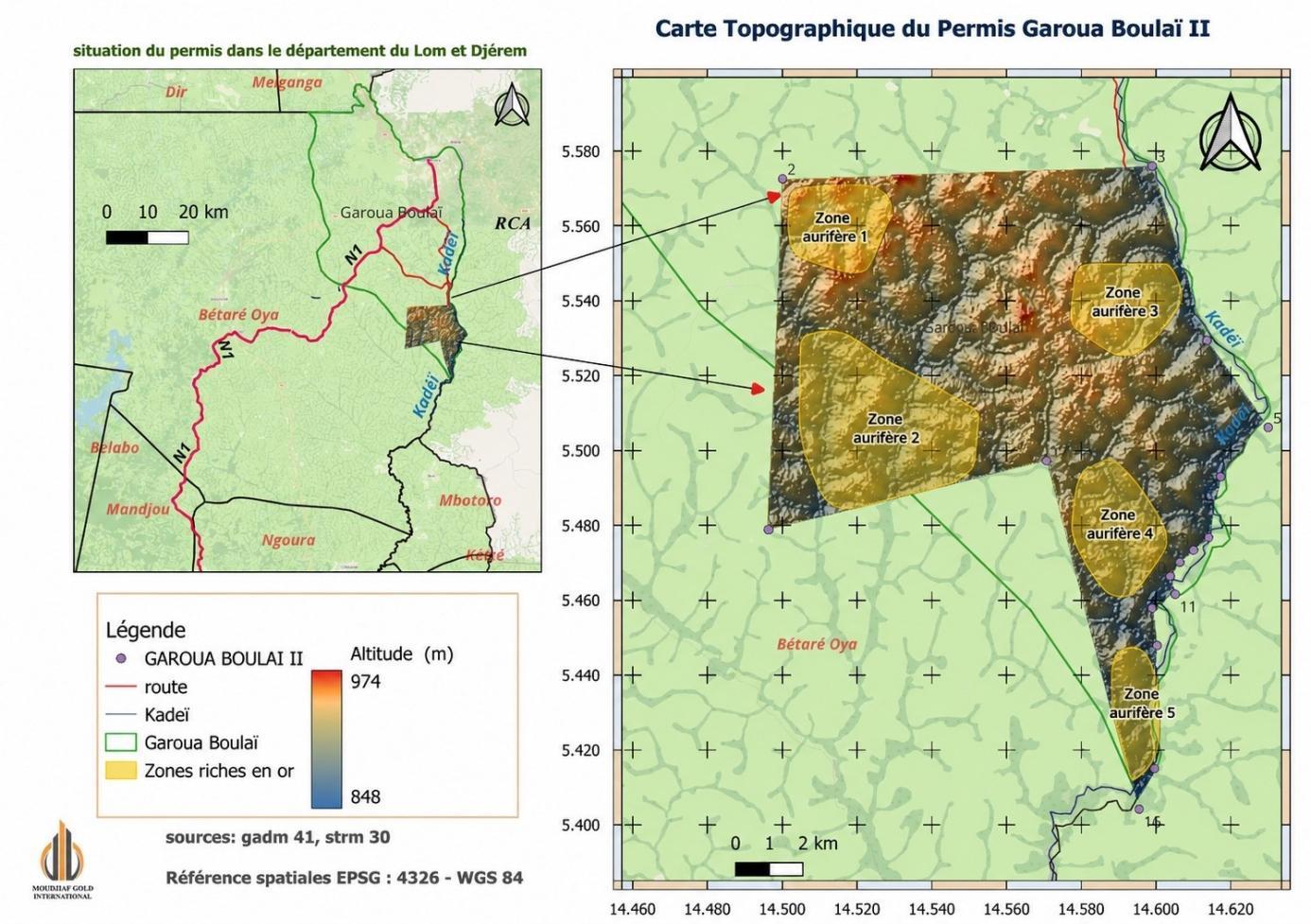
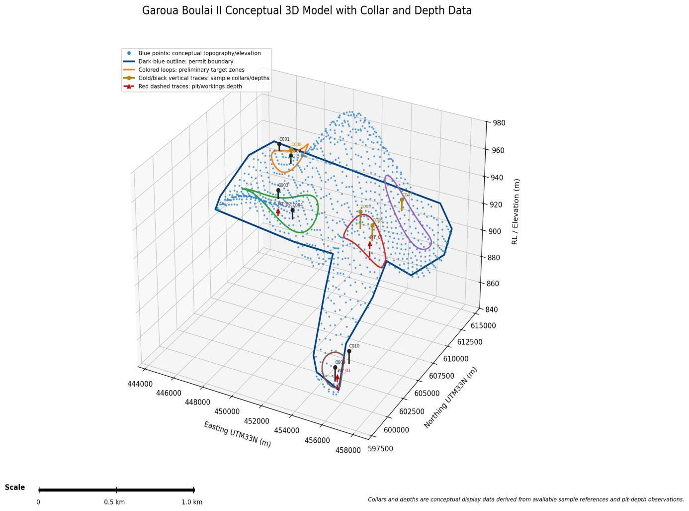
JORC (2012) conceptual evaluation — Garoua Boulaï II
A conservative conceptual resource across 26.85 km² of mapped auriferous surface, applying a 2.6 t/m³ density over a 2-metre mineralized horizon.
| Deposit Zone | Classification | Area (km²) | Tonnage (t) | Grade (g/t) | Gold (kg) | Gold (oz) |
|---|---|---|---|---|---|---|
| Zone 1 NW | High-Grade | 3.87 | 20,120,095 | 1.0 | 20,120 | 646,875 |
| Zone 2 SW Central | Medium-Grade | 11.77 | 61,217,329 | 0.5 | 30,609 | 984,090 |
| Zone 3 NE | High-Grade | 5.18 | 26,935,625 | 1.0 | 26,936 | 865,999 |
| Zone 4 East Central | High-Grade | 4.15 | 21,598,584 | 1.0 | 21,599 | 694,410 |
| Zone 5 SE | Low-Grade | 1.87 | 9,749,362 | 0.1 | 975 | 31,345 |
| TOTAL PORTFOLIO | Conceptual | 26.85 | 139,620,995 | — | 100,238 | 3,222,719 |
Figures are conceptual JORC (2012) screening estimates and do not represent a Mineral Resource in the reporting sense.